
Follow a Baldwin Street by Address
A Baldwin address usually begins at the free Allegheny County Real Estate Portal. It is an address and parcel-number tool, not a free owner-name finder. Enter the house number when it is known, enter the street name without its suffix, and select Baldwin Boro if the municipality is known. A street-only response may cover more than one page, so the first screen is not a complete inventory. The result grid gives a Parcel ID, owner field, address, and municipality. Open the individual parcel before moving to another source.
The open parcel record provides the key that makes the rest of the street trail manageable. Preserve the PIN, situs address, municipality, displayed owner, sale or recording reference, deed book and page, and owner-mailing line. A site address and a mailing address answer different questions. Neither establishes every person at a property. Keeping those differences visible prevents an address search from becoming a claim about household membership.
- Search the known Baldwin address in the Real Estate Portal, using the house number, a suffix-free street name, and Baldwin Boro where appropriate.
- Open the property card and note its PIN, situs, municipality, sale or recording reference, and deed book or page.
- Use the Allegheny County GIS Viewer to place the parcel among the street, address, and available map layers.
- Use the deed reference or party name in the Division of Real Estate online search to locate the recorded instrument trail.
- For a specific public municipal file, ask Baldwin for the identified permit, inspection, meeting, or transfer-related record with an address and tight date range.
That sequence gives the Baldwin street directory a defensible stopping point. It follows property records, not assumptions about residents. Note: A broad street query should be narrowed and paged before a result is treated as complete.
Baldwin Street Directory Search Fields
The County property portal uses two search modes. The address mode is the practical first stop for a Baldwin street directory search, while parcel mode is stronger after a PIN is known. The municipality menu is important because it lists Baldwin Boro separately from Baldwin Township. Historic or nearby records can use a similar place name, and the portal itself requires the borough selection to avoid carrying a result from the wrong jurisdiction into a Baldwin search.
| Portal field | Input | Required | Baldwin use |
|---|---|---|---|
| Search by: Address | Radio mode | One mode | Default path for a known street or number. |
| Search by: Parcel Number | Radio mode | One mode | Use after a county PIN is known. |
| House Number | Text | No | Reduces a long street result. |
| Street Name | Text | Yes in address mode | Enter the name without Dr., Cir., Street, or another suffix. |
| Municipality | Dropdown | No | Select Baldwin Boro, value 877, rather than Baldwin Twp, value 902. |
| Parcel Number | Text | Yes in parcel mode | Uses the County parcel or PIN identifier. |
The free portal displays owner information on a parcel card but does not offer free owner-name searching. County subscription access is the documented route for an owner-name search, legal-description retrieval, and additional tax information. For a street-led question, begin with the address rather than assuming that a name can be freely reversed into every Baldwin parcel.
Walk Baldwin Streets in GIS
The GIS Viewer supplies the spatial part of a Baldwin street directory search. Search an address, view the selected parcel, turn layers on or off as available, and use the mapped street context before checking the official property card. The County documents parcel information, basemap changes, linear and area measurement, printing, sharing, and address search. These controls help distinguish a parcel from the road or lot beside it. They do not create a household roster.
County Address Points and Street Centerlines add another check. Address Points can carry street components, municipality, ZIP code, edit date, and parcel ID. Centerlines can carry left and right municipal names, ZIPs, and address ranges. A road near a municipal edge may have a Pittsburgh postal label or a different municipality on its opposite side. Record the returned situs form, municipality, ZIP, and PIN together before treating two similar street strings as the same place.
County Address Management maintains the consolidated dataset used by 911, assessments, and real-estate records. Its county address-management information explains that the municipality assigns or corrects an address, while the County maintains the central record. This division matters when a street record and a mailing display do not match.
Baldwin Street Records by Address
Several custodians hold pieces of the address trail. The county assessment record supplies the current parcel frame. The recorder supplies instruments and plans. GIS supplies map context. Baldwin holds local permit and inspection material, but no public permit or code-case search was identified. Election records have separate statutory request and confidentiality rules. The table separates what a source can show from what it cannot prove.
| Address-keyed source | Custodian | Useful record detail | Access route |
|---|---|---|---|
| Assessment and parcel card | Allegheny Office of Property Assessments | PIN, situs, owner field, sale/deed reference, values, and owner mailing | Free address or parcel search; copies and counter or mail options. |
| Deed, mortgage, plan, or map | Allegheny Division of Real Estate | Parties, dates, instrument or book/page, and legal description | Free index, image or copy channels, historic offices, and Room 101 counter. |
| GIS parcel and address layers | County GIS and Address Management | Parcel geometry, street context, aliases, municipal side, ZIP, and ranges | Public viewer and County data layers. |
| Voter street-list process | Allegheny Elections | Only the fields allowed for the requested list product | Lawful request, affirmation, restrictions, and protected-voter limits apply. |
| Permit or inspection file | Baldwin Building Inspections and Code Enforcement | Site, parcel, project, date, and technical work context when releasable | Department counter or a precise RTKL request; no public index located. |
For voter information, the individual Pennsylvania voter-status service is for a person’s own registration and polling information, not street browsing. Pennsylvania law provides controlled election-list processes, and Allegheny’s Street List request form requires an affirmation and limits publication and improper use. A registration record is time-stamped information, not proof that a person currently occupies a property.
Baldwin Permit Files by Address
Baldwin’s Building Inspections and Code Enforcement office is the local source for construction, grading, property-maintenance, occupancy-inspection, and zoning context. Its web material supports applications and department contact, but it does not offer a public searchable permit database. That makes the right request narrow: name the property address or PIN, identify a permit or inspection category, and give a short date range. A request for an existing record is more useful than a request for a new street list.
Baldwin’s building-permit page shows the local application route and the kinds of records that can be address-linked.
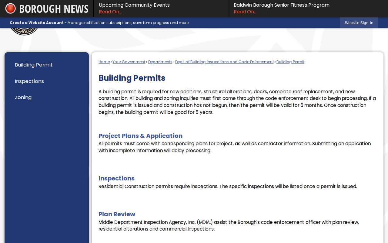
The form calls for a site address and tax parcel number, along with owner or agent, contractor, project description, estimated cost, and date information. Those fields help date property work after a record is lawfully released. They do not turn the permit file into evidence of everyone connected with an address.
For a transfer-related timeline, the Borough also publishes lien-letter, sewer-certificate, and occupancy procedures. Those are property-specific municipal events, not residential listings. The Borough says submissions can be made by email, fax, mail, online, or at the municipal counter, with the published transfer paperwork requested at least three weeks before closing. Note: A permit number or address plus a date range gives the records officer a workable starting point.
Baldwin Parcels to Deed Chains
A deed chain starts with the property record, not the street name alone. Use the parcel card’s sale date, recording date, deed book and page, legal reference, or PIN to reach the recorder search. In the deed index, a grantor transfers an interest and a grantee receives it. Search the seller as a grantee on an earlier transaction to move backward. Compare the legal description, lot or block information, and plan reference at each step, especially when an older instrument uses an address differently or omits one.
The Division’s public index is free, while document images and copies have stated price and account terms. Its current system gives separate coverage statements for document indexes, deed images, mortgages, plans, and other records. The Division also offers a distinct free historic route for 1792 through 1857. Those routes are useful for title history, but a recorded owner remains different from a current occupant.
The County’s historic deed search can be paired with the current recorder system when the era fits. For a fuller historical household trail after a property question is settled, the city-directory collection route is more suitable than treating an unverified reverse directory as available for Baldwin. No confirmed Baldwin reverse or criss-cross directory run was located in the research.
Baldwin's 1952 Street Boundary
Older street research needs a place-name check. Baldwin Borough incorporated from part of Baldwin Township on January 1, 1952. The older township covered a much larger area, so a result labeled only Baldwin Borough can miss a pre-1952 deed, map, or address reference. Retain both the historic place string and the current municipality in research notes. A period Hopkins map, County street-alias data, and the instrument’s legal description are better checks than a modern map pin alone.
This local boundary history is also why Baldwin Boro and Baldwin Twp must remain separate choices in the parcel menu. A matching street name can cross a different municipal history. It is safer to identify the parcel and map context first, then decide which custodian holds the needed record.
Baldwin Street Postal Labels
A postal city label is not a municipality decision. Official Baldwin material uses Pittsburgh mailing labels, and County data identifies four ZIP codes serving Borough addresses. The parcel example documented in the research was marked Baldwin Boro while its situs line used Pittsburgh 15236. The Borough Municipal Complex uses Pittsburgh 15227. That difference can be ordinary postal routing, not evidence that the address falls outside Baldwin.
For an exact mailing ZIP, use the USPS ZIP Code Lookup with the full street address. Use the County property portal and municipality field for the parcel and tax record. If a legal address is changing or wrong, Baldwin has the authority to assign or correct it; County Address Management then reviews and updates the central data. Note: Postal, parcel, and municipal records should be dated and compared rather than forced into one label.
County Address Management describes the coordination between local assignment and the countywide emergency-address record.
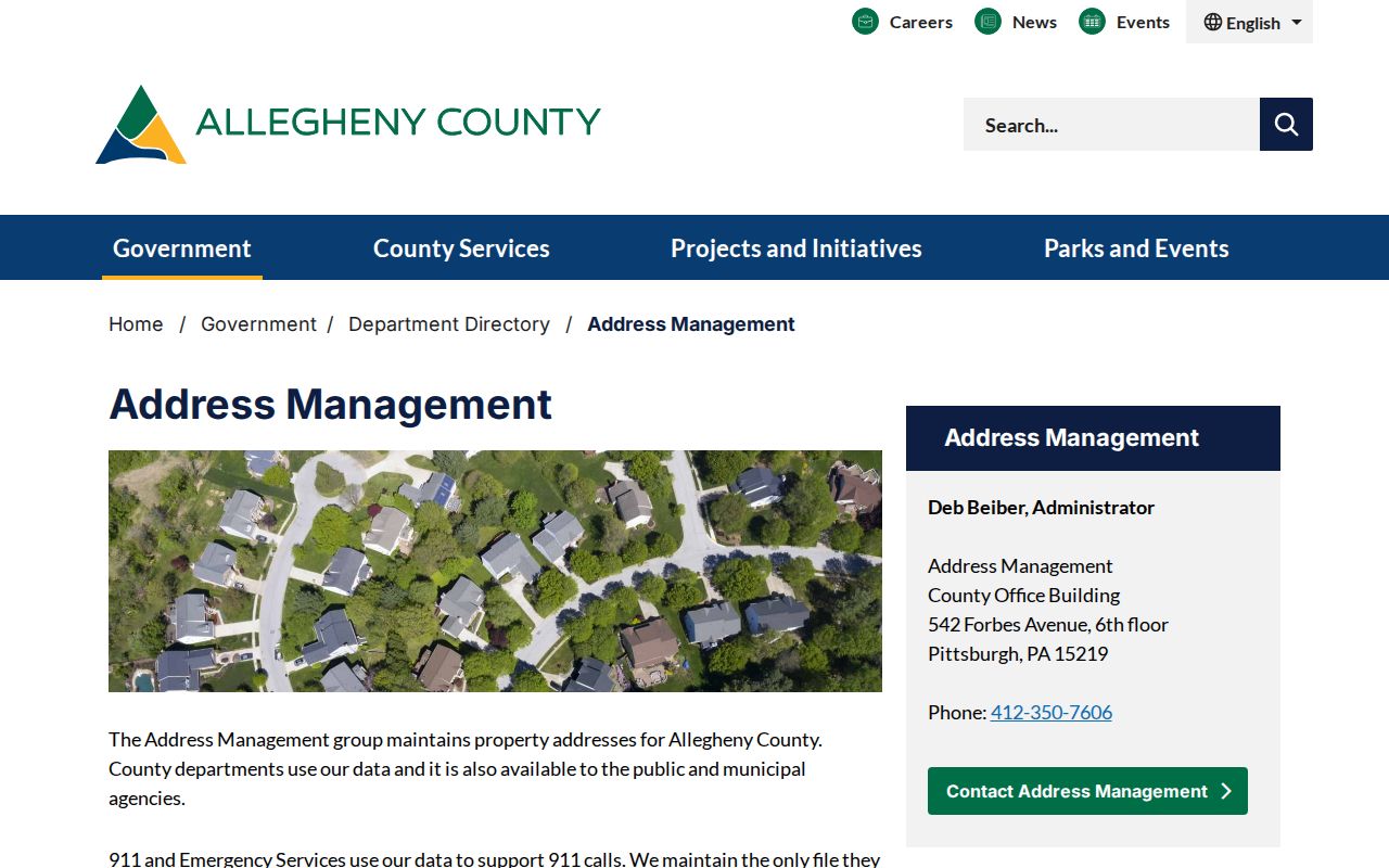
That recordkeeping split explains why a County update, a Borough letter, and a USPS response can carry different dates without being competing proof of who is at an address.
Baldwin Street Record Terms
These terms keep the record trail clear when a Baldwin street directory search moves between property, map, and recorder systems.
- Parcel or PIN
- The County identifier for a specific property record. It connects the address search, property card, and related mapping work.
- Situs address
- The physical location listed for the parcel. It is separate from the owner-mailing field and does not identify all occupants.
- Grantor and grantee
- The grantor transfers an interest in a deed; the grantee receives it. Those roles provide the direction for a title chain.
- Plat or plan
- A recorded map or subdivision plan that can connect a lot, block, or legal description to its mapped location.
Limits of Baldwin Street Directories
A street-based record trail cannot show every person connected with an address. The property portal distinguishes a parcel situs from owner mailing. The voter-status page is not a street roster, and lawful voter-list products have separate access controls. Private utility accounts and driver records are not public address lists. Court material can also be sealed, limited, or redacted. A no-result, substitute address, or redaction is never a reason to work around the custodian’s restriction.
Pennsylvania’s Address Confidentiality Program can provide eligible participants a substitute address, and protected voters are excluded from ordinary display. An address-related request should seek a specific existing record through the custodian, not a custom list of people on a street. Baldwin’s Right-to-Know page identifies its Open Records Officer and states the five-business-day initial response rule for a formal request.